Pages

Friday 23 October 2015

LocationTech Tour Victoria

I have been spending a bit of time talking about FOSS4G recently (billed as an annual great "meeting of the tribes"). This years event in Korea really highlighted the opportunity for out reach - something that is realized every three years (when the event cycles out of Europe and North America strongholds.)

The other annual event I have been pleased to take part in is the LocationTech Tour. The Tour takes the opposite approach, rather than bring community leads to a central location for a "big phat conference" it consists of a series of smaller events taking projects closer to new users. This is excellent for outreach and advocacy often setting a gruelling pace for those involved.

It should be noticed that this is a straight up outreach event featuring a mix of OSGeo and LocationTech (and other!) projects.

LocationTech Tour 2015

For 2015 the tour has already hit several cities, I will update this blog post for each one I am able to take part in.

LocationTech Tour Victoria

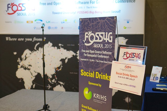
Last year the local GeoGeeks collaborated to set up a "GeoRabble Style" pub night (well within everyone's comfort zone). This year do to some quick organization with Paul Ramsey and Dr. Trisalyn Nelson from University of Victoria we were able to do two events: an evening at the "Stick Wicket" pub, and a day of workshops which managed to sell out.

Featured presentations:

  • Welcome (Jody) - a chance to introduce open source, open standards and open data
  • Torque (Paul) - javascript space/time visualization library
  • State of GeoServer (Jody)
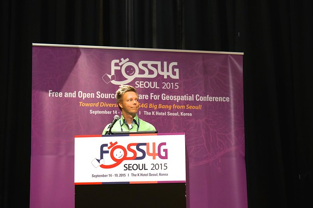
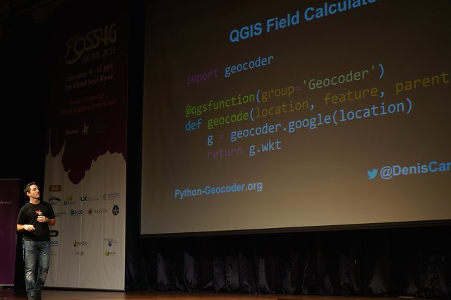
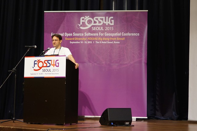
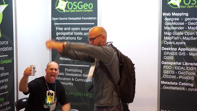
  • JTS Update (Travis) - looks like JTS 1.14 is finally here (at least on maven central)
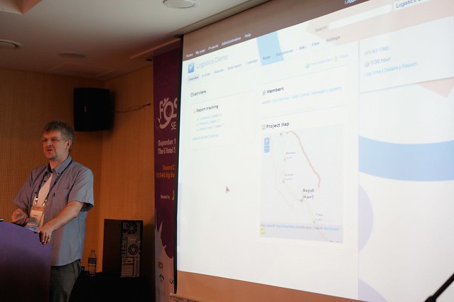
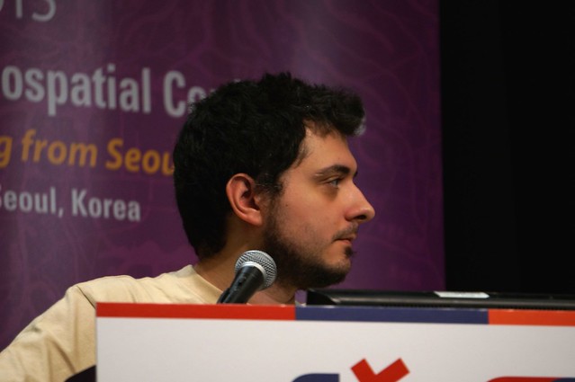
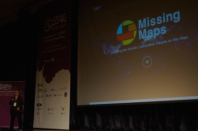
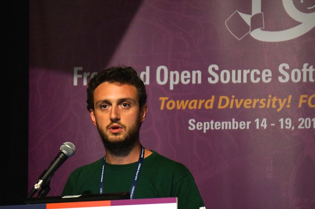
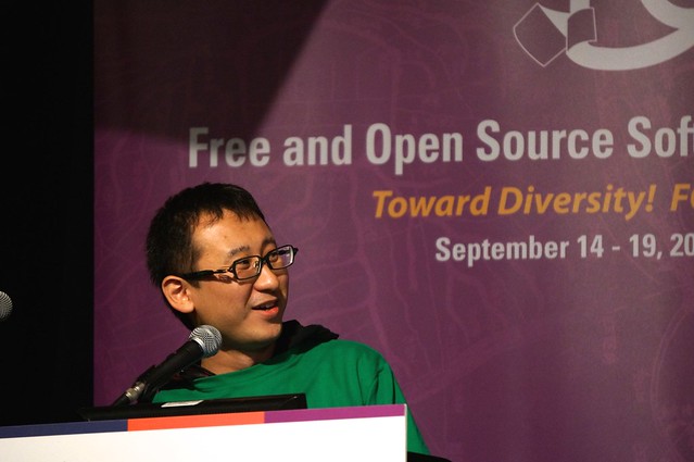
  • MapStory Uncovered (Travis) - the show case for GeoNode (a new OSGeo project)
  • Composer Demo (Torben) - alternate user interface for GeoServer

Featured workshops:


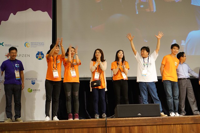
In many cases this was a first-contact experience with open source spatial software, making this a great outreach activity.

DSC01206
Martin Providing an update on JTS 1.14

DSC01208
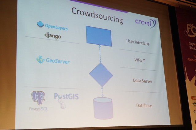
Travis exploring the next MapStory Platform

DSC01240
Filled to Capacity for PostGIS workshop

DSC01235
University of Victoria and the Next Generation of Spatial Professionals

Sunday 20 September 2015

FOSS4G 2015

FOSS4G has just finished up in fabulous in Seoul Korea. Online I see the occasional calls for "what is going on?" and "are they recording video?" Yes, videos will be available on the conference website at a later date. As for what is going on let me gather up my blog posts on the topic.

Click on each link for a write up of the day in question:
External Links:
The conference was a great success with 562 attendees. Thanks to everyone who made this event happen.

Saturday 19 September 2015

FOSS4G 2015 Code Sprint

Navigation: FOSS4G 2015 | Workshops | Day 1 | Day 2 | Day 3 | CodeSprint

The code sprint was in the fascinating heart of Gangnam, full of colour and life - in a small room containing approximately 40 developers you know and love:
  • Andrea and myself focused on outreach with the ISA Server team working with ISO 19107 and Complex Features. I really hope this relationship grows into more members for our community.
  • Ian Turton and Andrea wrestled with drawing GeoTools DirectLayers (think scalebar) and labels as the same time. Eventually they blamed me, so I have some API work to do on the flight home.
  • After an inspiring conversation with OpenLayers developers Andrea started looking into checking coverage as part of pull request evaluation (with the idea being that a pull request that reduces test coverage is not acceptable).
  • Andrea and Tom worked on raster performance resulting in some amazing visuals of 8K images and the point of the exercise ... a pull request!

Friday 18 September 2015

FOSS4G 2015 Day 3

Navigation: FOSS4G 2015 | Workshops | Day 1 | Day 2 | Day 3 | CodeSprint

To start out day 3 we must of course talk about ... coffee! Coffee Zip across from the conference is a lovely hipster Korean experience with pourovers, cold press ... and small robots standing guard.

DSC00697

Keynote and Presentations

Presentations were smooth on the last day of the conference, with both attendees and presenters knowing what to expect in terms of pacing. I really appreciated the additional questions today as I had a number of talks scheduled.

  • Citizen Science, VGI, Geo- CrowdSourcing, Big Geo Data: how they matter to the FOSS4G Community (Prof. Maria Antonia Brovelli, Vice Rector, Politecnico di Milano). This talk explored how Citizen Science (i.e. Science done by the general public) is key to sourcing large datasets and the advent of "volunteer geographic information". This talk quickly explored many of the technologies enabling this shift, I was very happy to see geopaparazzi highlighted in the list!
    This was a cheerful positive talk and a great way to start out after a night on the town. I was especially impressed with the QA process checking open street map data against an "authoritative source" via WPS. It looks like WPS may finally be reaching critical mass.

    DSC00702
  • QGIS - from a geodata viewer to a GIS platform - Dr. Marco Hugentobler (Managing Director, Sourcepole AG)
    It is hard to introduce QGIS to this crowd, I was impressed with one individual out of hunderds in the audience admitted to using ArcView Desktop. DSC00705
  • Giving Away the Code Without Giving Away the Farm: A Business Model for Open Source Entrepreneurs - Blaine Hackett (Flat Rock Geographics), Paul Wickman
    Tricky balancing act, exploring the financial side of keeping the mapFeeder task tracker product going while contributing back to open source projects it is built on. There were some good questions raised - I expect this is a topic/track (that like free vs open) should be explored at future conferences. DSC00708
  • Earning Your Support Instead of Buying it: A How-to Guide to Open Source Assistance - Ian Turton (Computational Geographer)
    Hard love from a kind man - with examples that are painful to watch as an open source developer. Ian draws on his long GeoTools experience (and StackExchange outreach) for this excellent talk. DSC00710
  • Location-based Task Management for Mobile Business - Daniel Kastl (Georepublic)
    Task management for mobile business (vertical app using open source components). Great example of building a company around open source components. DSC00711
  • Lightening talks
    Fast, fast fast - with a nice open mic format. The conference tagline featured "towards diversity" and the lightening talks delivered in that promise. A special call out María's "braveheart" presentation discussing Free vs Open - it is important to keep "open source" advocacy alive and well at FOSS4G and not just focus on how helpful all the technology is.
    DSC00714 DSC00715 DSC00716 DSC00719 DSC00723 DSC00728
  • Everybody wants (someone else to do) it: Writing documentation for open source software - Jody Garnett (Boundless), Mike Pumphrey
    Thanks to Mike for letting me run his talk, and thanks to everyone for the kind words after the presentation. My only question was a scheduling one - how is a talk of documentation highlighted in an "Innovative use of GIS" session :)
  • Semantic assessment and monitoring of crowdsourced geographic information - Hamish Mcnair (University of Canterbury), Paul Goodhue
    Good Aussie content with Hamish and Paul, I was pleased to see CRC-SI and 43/PL research getting out into the world. Although this was an academic talk, it provided a clearly spoken take on moving from data models to ontologies.DSC00730 DSC00732 DSC00729
  • COBWEB, a citizen science data collection platform - Panagiotis Terzis (University of Edinburgh, EDINA)
    I am starting to see more of these vertical apps built on open source spatial foundation. In this case the stack was cordova, jquery, open layers / leaflet, requirejs for a modern mobile stack. Storage was provided by a personal cloud api (dropbox and rest api). The project is available at https://github.com/edina/fieldtrip-open under a BSD license. DSC00733
  • How to build a succesful co-operation around your FOSS software - case Oskari - Jani Kylmäaho (National Land Survey of Finland)
    Don't duplicate work, don't throw away tax payers' money. In this case highlighting collaboration between a small company and the Finnish National Geoportal. Collaborate by virtue of working at the same time resulting in joint development. While this seems sensible I feel it requires a lot of luck (for concurrent funding) and did not account for the communication overhead involved in an open project. Both of these factors require a lot financial backing to be successful. I have had several great technical opportunities for projects to collaborate sunk due to lack of funding for BOTH development teams to work together at the same time. This talk really raised more questions than it answered. DSC00737
  • Leaflet vs. OpenLayers: which is best for our indoor maps? - Iván Sánchez Ortega (MazeMap)
    We all know Iván as an entertaining individual - it was a pleasant surprise to see him use his charm for a good comparison of these web mapping technologies. The OpenLayers team is certainly motivated, and aware the shortcomings highlighted, and Iván cheerful accepted the challenge when Leaflet could not meet his needs for indoor mapping. DSC00746
  • WPS Projects Update - Gérald Fenoy, Jachym Cepicky, Jody Garnett
    A quick status update from the WPS projects present (no benchmark this year as it is hard to figure out how to usefully benchmark a WMS service). In this case Jachym and Gérald carried the show. PyWPS is as cheerful simple and direct as always, and the ZOO Project has rounded up an impressive number of new features and an army of processes.
    The big news for GeoServer is that WPS is finally production ready (with support for security, limits on the amount of resources processes can consume and clustering support). I hope we get a chance to implement WPS 2.0 and catch up with the other implementations in the year ahead.
    What really pleased me about this talk was the number audience members who had head of, and were using, WPS.
  • OSGeo and LocationTech Comparison - Jody Garnett (Boundless)
    Last presentation of the day - on what I hope is an important and useful topic. It is a bit of an honour to represent these organizations as they support our development teams.

Awards and Closing

  • OSGeoLive: the best collection of Geospatial Freee and Open Source Softwares - Mr. Luca Delucchi (Fondazione Edmund Mach)
    Big shout out to the OSGeo Live team - releasing software is the point of what we do and OSGeo Live helps make that happen. DSC00749
  • Global Vision: The Open Source Geospatial Foundation - Mr. Jeff McKenna, President, OSGeo (Open Source Geospatial)
    Jeff provided an enthusiastic, measured overview what our foundation is doing well and where we have opportunities in the year ahead. Jeff amused everyone with gradually coming around to the idea of 'shaking hands with a suit' as a positive activity - with the key insight being the growth of Geo4All being built on such relationships. I also liked the increased recognition of organizations directly support OSGeo projects. DSC00750
  • Developer Recognition - Jeroen Ticheler (OSGeo)
    A really classy move recognizing the developer community which makes this possible. Kudos to Gérald Fenoy and Thomas Bonfor. DSC00762
  • Student Awards - Venkatesh Raghavan (Geo4All)
    Presentation and poster recognition. DSC00756
  • Map Awards 
    My notes were not quite able to keep up, so see the news announcement. I was happy to see the Hiroshima Archive win the prize of "The Best Cutting Edged Map."DSC00753
  • Sol Katz (slides)
    Maria Antonia Brovelli was recognized for outstanding contributions to our community with the Sol Katz award. Check out her slides above for some great pictures of the early days of our community. DSC00767
  • FOSS4G 2016 Bonn, Germany
    An entertaining video, an amiable host - next year will be great! Making it Happen
  • FOSS4G 2015 Organizing Team
    A big thanks to the organizing team.  DSC00781 Thanks Again! Take a Bow! DSC00778

FOSS4G 2015

The Free and Open Source Software for Geospatial was held in Seoul, South Korea in 2015 (see round-up blog post). Thanks to my Boundless colleagues for such an enjoyable week and the Open Source Community for giving  us so much to celebrate with this lovely conference.

Thursday 17 September 2015

FOSS4G 2015 Day 2

Navigation: FOSS4G 2015 | Workshops | Day 1 | Day 2 | Day 3 | CodeSprint

A bit of a slow morning as jet lag finally kicks in! This provided me with a great chance to hang out at the Boundless table and meet people (and prepare for tomorrow's talks).

Presentations

The second day continued the relaxed (for FOSS4G) pace:
  • Inpromptu Lightening talksLightening talks are always a good time, presenters hit a range of topics (such as a preview of python geocoder talk or Kate talking about the missing maps project). The big news for me was Andrew Ross announcing Raleigh as the location of foss4g-na 2016 conference.
    DSC00648
    DSC00650
  • Point Clouds in a Browser with WebGL - Daniel Kastl (Georepublic)
  • WebGL examples always offer amazing visuals, working with point clouds collecting by vehicle.
  • PostgreSQL, batteries included - Olivier Courtin (Oslandia)
    A good dose of what makes PostgreSQL (not PostGIS) so amazing.  Crowd was really taken with the use of different scripting languages. 
  • New QGIS functions for power users - Marco Hugentobler (Sourcepole AG)
    Highlighting Curves and quality assurance (Perhaps I can finally stop using JUMP and JCS for data cleanup).
  • PDAL: the Pointcloud Data Abstraction Library - Michael Smith (US Army Corps of Engineers)
    Charming as always, amusingly using Kanas as a example (which is about as flat a 3D example can get!). Anyone asking questions win a free PDAL license! And a USB bottle opener.
    DSC00655
  • "Migrating" from Google Earth API to Cesium - Hidenori Watanave (Tokyo Metropoitan University)
    At one level this talk simply highlights a danger of working with a single vendor, especially for archival work such as this important project. It is a great that migration to CesiumJS went so smoothly well and speaks well for the Cesium team. It is a bit scary that migration from KML to CZML mean this archive now has "project lock-in". This was a heartbreaking dataset being used to show case technology.
    I was honoured to talk with Hidenori Watanave, and hope he can work with OGC's new community standard and keep the long term view in mind. The project is after all being built for "forever" (lest we forget)

Annual General Meeting

A really cheerful meeting, sorry Jeff I could not wait for you :)
  • Incubation committee had to restructure (refresh the membership list). New projects added, gvSig really really close!
  • GeoTools - thanks to the board for helping with CodeHaus JIRA shutdown
  • GeoServer - once again thanks for help with Jira, some discussion on responsible disclosure and the advent of a private security email list.
    GeoServer Update
  • Lots of other friendly updates from groups near and far ... OSGeo is a cheerful place to be after all
    DSC00658 DSC00660

Evening KeyNote

The evening keynote once again found everyone gathered into Ballroom B:
  • Paul once again dazzled the crowd with a thoughtful talk on the long-term trends of open source. Good news: we won! Bad news: with the move to the cloud less of us will be needed.
    DSC00662
  • Discussion on the rise of QGIS focused on the Bazaar as the key success factor. With other desktop GIS system being driven by the Cathedral model. This did not quite match my experience (as far as I am aware gvSig and uDig were also open from the start). My take on the success of QGIS is due to a combination of critical mass and low barrier of entry to plugin development.

Social Drinks

A good time was had by all, and really showcased the diversity motto for the conference! Hidenori Watanave DSC00681 DSC00682 DSC00683 Laughter at FOSS4G DSC00687 Height Difference

Activites

An "arrow" game was a popular hit, I expect that the bucket needed to placed due north to improve the general accuracy of the group attending.
DSC00670DSC00675


Less popular was the open mic (and loud music) near the OSGeo booth. DSC00688 Music so Loud!

LocationTech BOF

A friendly gathering of developers near and far, thanks to Andrew and Eddie for organizing. Great conversations about the upcoming LocationTech (and the possibility of adding Moscow into the mix). The big news is the announcement of foss4gna location for 2016.

Retreated to another restaurant for dinner (could not imagine having German sausages in Korea?) and stumbled home - apparently missing a few other attendees in the subway (sorry!).

FOSS4G 2015

The Free and Open Source Software for Geospatial was held in Seoul, South Korea in 2015. Thanks to my Boundless colleagues for such an enjoyable week and the Open Source Community for giving  us so much to celebrate with this lovely conference.